
 Wall Maps
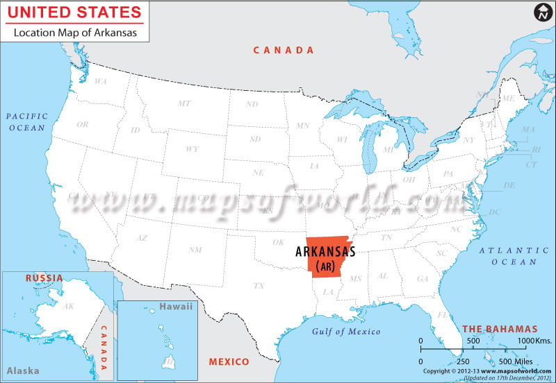
Arkansas Location Map
Arkansas Location Map shows the coordinates of Arkansas state which are latitude 33° N to 36° 30′ N and longitude 89° 41′ W to 94° 42′.
Bounded by Mississippi, Tennessee and Missouri on the eastern side, Louisiana on the southern part and Missouri on the north, Arkansas covers a total area of 53,187 sq. miles.
Facts About Arkansas |
|---|
| State Name | Arkansas |
|---|---|
| Continent | North America |
| Country | United States (USA) |
| Capital and largest city | Little Rock |
| Area | 53,179 sq mi (137,733 km2) |
| Population | 2,966,369 (2014 est) |
| Lat Long | 34.8000° N, 92.2000° W |
| Official Language | English |
| Calling Code | 00 1 501 X (Little Rock) |
| Time Zone | Central: UTC −6/−5 |
| Airport | 8- Airports (Commercial Service) |
| Neighbour State | Texas, Missouri, Oklahoma, Tennessee, Louisiana, Mississippi |
| Internet TLD | NA |
| Currency | United States Dollar (USD) |