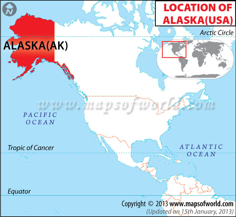
Location of Alaska in USA
Alaska, the largest state of US, is bordered by Canada from the east, Arctic Ocean from the north, and the Pacific Ocean from the west and south.
The state has an area of 663,267 square miles. The coordinates of the state are Latitude 51°20’N to 71°50’N & Longitude 130°W to 172°E.
Facts About Alaska |
|---|
| State Name | Alaska |
|---|---|
| Country | USA |
| Continent | North America |
| Capital | Juneau |
| Largest city | Anchorage |
| Area | 663,300 sq miles (1.718 million km2) |
| Population | 736,732 (2014 est) |
| Lat Long | 64° 0′ 0″ N, 150° 0′ 0″ W |
| Official Language | English, Inupiaq, Siberian Yupik, Central Alaskan Yup’ik, Alutiiq, Unangan, Dena’ina, Deg Xinag, Holikachuk, Koyukon, Upper Kuskokwim, Gwich’in, Tanana, Upper Tanana, Tanacross, Han, Ahtna, Eyak, Tlingit, Haida, Tsimshian |
| Calling Code | 1 + 197 |
| Time Zone | UTC -9/-8 |
| Airport | 86- Airports Scheduled serive |
| Neighbour countries | Canada and Russia |
| Internet TLD | ..us, .gov, .mil, .edu |
| Currency | United States Dollar (USD) |

 Wall Maps