
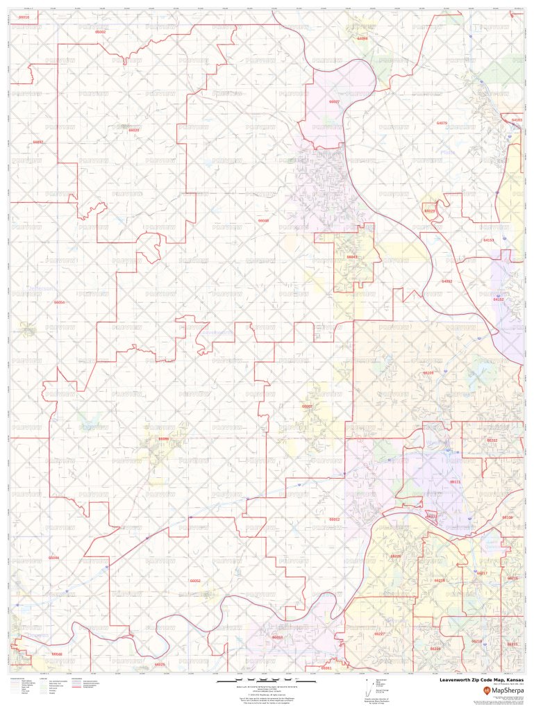
| State | County | City | Zipcode |
|---|---|---|---|
| Kansas | Leavenworth | Basehor | 66007 |
| Kansas | Leavenworth | Easton | 66020 |
| Kansas | Leavenworth | Fort Leavenworth | 66027 |
| Kansas | Leavenworth | Lansing | 66043 |
| Kansas | Leavenworth | Leavenworth | 66048 |
| Kansas | Leavenworth | Linwood | 66052 |
| Kansas | Leavenworth | Tonganoxie | 66086 |
Leavenworth Zip Code Map, Kansas
You can buy the above map in a high quality print on paper, laminated and matte plastic in different sizes. You can also customize the above map by selecting the area of your choice and changing the orientation in landsacpe or portrait. You can do this with our custom map tool for any zip code area on MapTrove.com. These maps use the most up to date data from TomTom and are updated every six months.
Maps of Nearby Counties
- Wyandotte Zip Code Map, Kansas
- Jefferson Zip Code Map, Kansas
- Platte Zip Code Map, Missouri
- Douglas Zip Code Map, Kansas
- Johnson Zip Code Map, Kansas