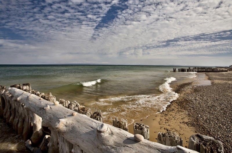
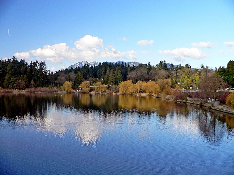
Lake Superior is the largest of the Great lakes and the largest freshwater lake in the world by surface area (but not by volume). The lake is situated along the border between the United States and Canada, with borders in the Canadian province of Ontario and the US states of Minnesota, Wisconsin, and Michigan. Lake Superior has 2,726 miles (4,387 kilometers) of coastline, including the islands, lending it and the rest of the Great Lakes region the nickname “the third coast”. It has a surface area of 31,700 square miles (82,103 square kilometers) and a volume of 2,900 cubic miles (12,100 cubic kilometers).
The water of Lake Superior has an unusually low temperature. While the temperature at the surface varies with seasons, the temperature underneath the surface is usually 39 degrees fahrenheit.
There are several islands in Lake Superior, the largest of which is Isle Royale, which is part of Michigan. Isle Royale along with 450 islands in the vicinity and water bodies constitute the Isle Royale National Park. Additional islands in Lake Superior include Madeline Island in Wisconsin, Michipicoten Island in Ontario, and Grand Island in Michigan. The Grand Island is home to a national recreation area in the Hiawatha National Forest.
Other popular places to visit around Lake Superior include the Sleeping Giant in Ontario, which are mesas on the Sibley Peninsula that look like a sleeping giant, Pictured Rocks National Lakeshore, the first official National Lakeshore in the country, and the forested Pukaskwa National Park in Ontario.
The Lake Superior area offers a variety of recreational opportunities such as camping, fishing, hiking, mountain biking, hunting, canoeing, and kayaking, as well as observing wildlife including bears, moose, lynx, and grey wolves.
Know more through Lake Superior Infographics
Lake Superior Location Map
Facts about lake Superior
- Lake Superior has an average depth of 483 ft.
- St. Marys River is the primary outflow from the lake.
- Primary inflows in the lake include Michipicoten, Pic, St. Louis, Kaministiquia, Pigeon, and White rivers.
Where is lake Superior ?
Lake Superior straddles the United States-Canada border, in the US states of Wisconsin, Michigan, and Minnesota, and the Canadian province of Ontario. The lake can be accessed from either the Canadian side in Ontario or from the US side.
Best time to visit lake Superior
Lake Superior has a fairly temperate climate because of the size of the lake, therefore it does not get extremely hot during the summer. The water in the lake is cool year-round. Lake Superior is often foggy, particularly during the autumn season. Winter at Lake Superior is cold and snowy, though the lake rarely freezes over completely because of its enormous size.
More about lake superior
Nearby Attractions: Lake Superior Provincial Park, the Apostle Islands National Lake shore, and Porcupine Mountains Wilderness State Park.
Related : Lake Superior Infographic | North America Map | North America Facts
