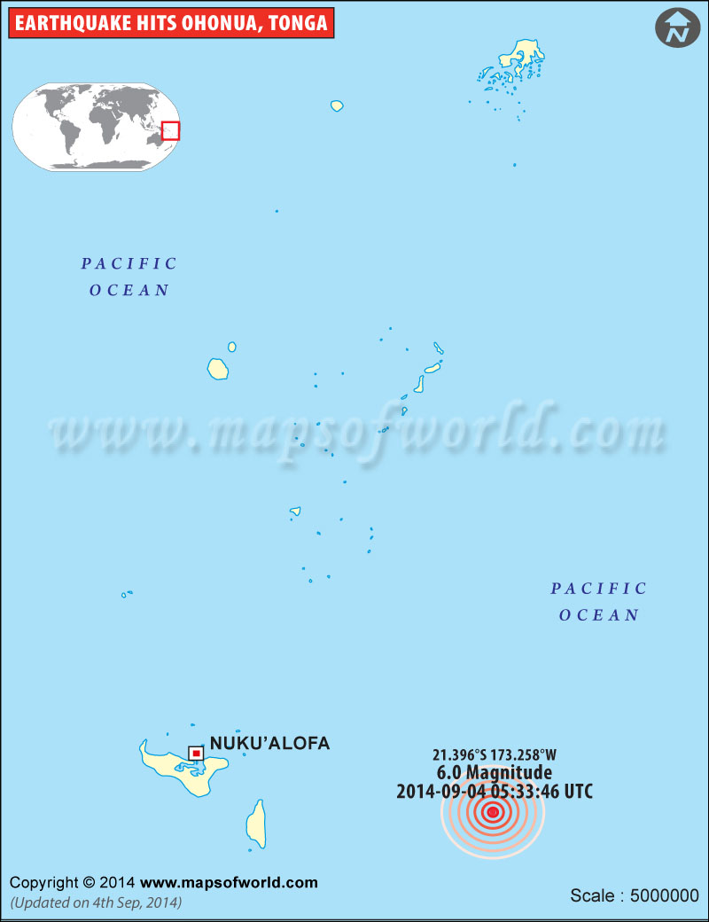
M6.0 Earthquake in Ohonua, Tonga on Sept. 04, 2014 |
 |
Map shows the location of earthquake of M 6.0 that hit near Ohonua, Tonga on September 04, 2014. |
Earthquake in Tonga
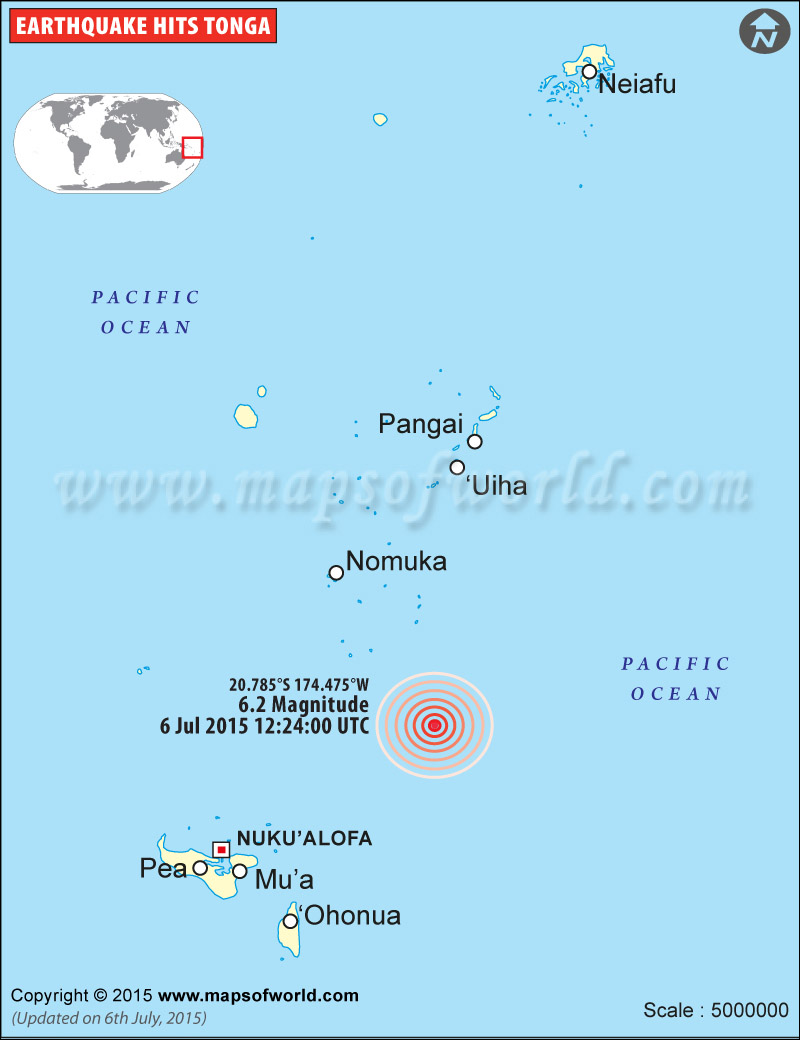
M6.2 Earthquake in Tonga - July 06, 2015

| Description :Map shows the epicenter of M6.2 earthquake that hits in Tonga on July 06, 2015. |
| Disclaimer |
*We specifically create maps that have a magnitude of 6 or more on the Richter Scale.
M6.2 Earthquake - 76km NE of `Ohonua, Tonga- July 6, 2015
Time
12:24:02 (UTC)
Nearby Cities
76km (47mi) NE of `Ohonua, Tonga
83km (52mi) ENE of Nuku`alofa, Tonga
798km (496mi) ESE of Suva, Fiji
807km (501mi) SE of Lambasa, Fiji
818km (508mi) SSW of Tafuna, American Samoa
Co-ordinates: 20.793°S 174.488°W depth: 10.0 km (6.2 mi)
(Source : USGS )

