Historic Earthquakes in Guatemala |
 |
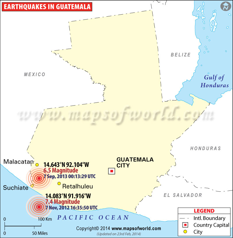
Map showing the epicenter of major earthquakes occured in Guatemala. |
Earthquakes in Guatemala
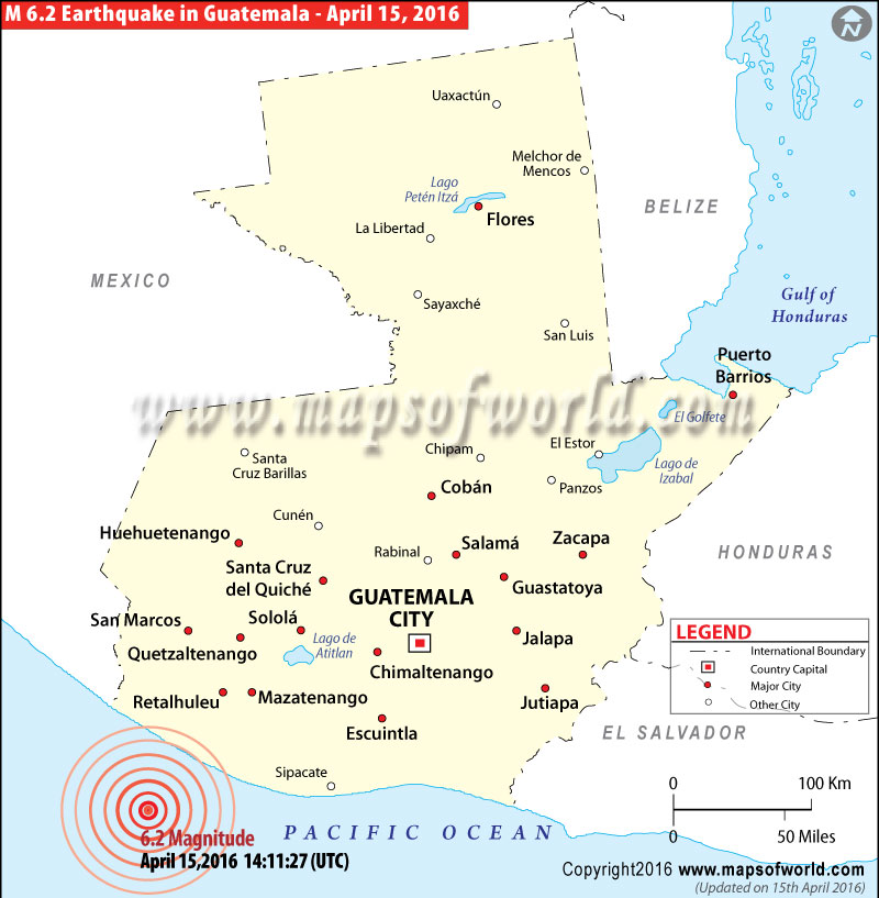
Magnitude-6.2 earthquake strikes off the coast of Guatemala

| Description :Map showing Earthquake in Guatemala |
| Disclaimer |
*We specifically create maps that have a magnitude of 6 or more on the Richter Scale.
Magnitude-6.2 earthquake strikes off the coast of Guatemala:
April 15, 2016 - A magnitude-6.2 earthquake occurred off the Pacific coast of Guatemala on Friday morning. According to the US Geological Survey, the earthquake struck some 135 miles southwest of Guatemala City. So, far there have been no reports of casualties or damages to property.
| Earthquakes in Guatemala | |||
| Date | Location | Magnitude | Fatalities |
|---|---|---|---|
| Apr 19, 1902 | Guatemala | M 7.5 | Fatalities 2,000 |
| Aug 6, 1942 | Guatemala | M 7.9 | Fatalities 38 |
| Feb 4, 1976 | Guatemala | M 7.5 | Fatalities 23,000 |
| Jun 13, 2007 | Offshore Guatemala | M 6.7 | |

