Earthquake in Alaska |
 |
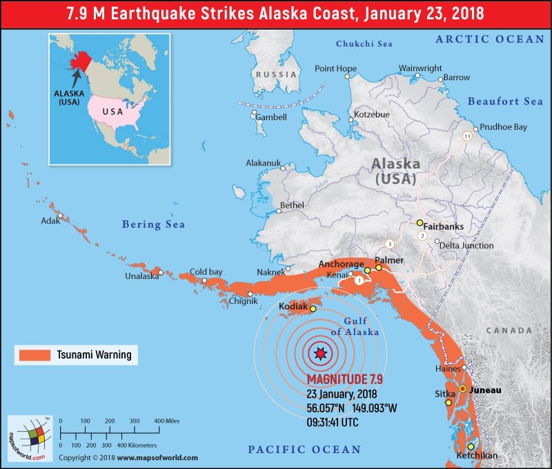
M 7.9 Earthquake in Alaska |
Alaska Earthquake Map
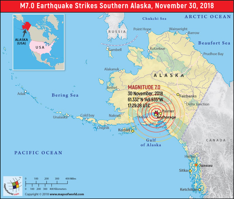
M 7.0 Earthquake in Alaska on November 30, 2018

| Description :M 7.0 Earthquake in Alaska on November 30, 2018 |
| Disclaimer |
*We specifically create maps that have a magnitude of 6 or more on the Richter Scale.
Earthquake of 7.9 Magnitude strikes the Gulf of Alaska
An earthquake of 7.9 magnitude struck Gulf of Alaska after which red Tsunami warning for the Pacific Ocean and the entire west coast were issued. The earthquake lasted for a minute and had a depth of about 6 miles. It was detected in about 175 miles southeast of Kodiak, Alaska, in the Gulf of Alaska. Tsunami Warning Center has issued a warning for southeast and South Alaska, including the Alaska Peninsula, Aleutian Islands and British Columbia in Canada. A tsunami watch is also in effect for California, Oregon, and Washington
Also Explore: Alaska Map, Where is Alaska

