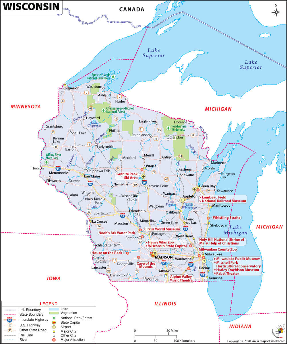
What are the Key Facts of Wisconsin?
State Wisconsin State Capital Madison Largest City Milwaukee Coordinates 44.5°N 89.5°W Nickname(s) “Badger State”, “America’s Dairyland” Postal Abbreviation WI Area 65,498.37 sq.Continue Reading…
![]()

State Wisconsin State Capital Madison Largest City Milwaukee Coordinates 44.5°N 89.5°W Nickname(s) “Badger State”, “America’s Dairyland” Postal Abbreviation WI Area 65,498.37 sq.Continue Reading…
![]()
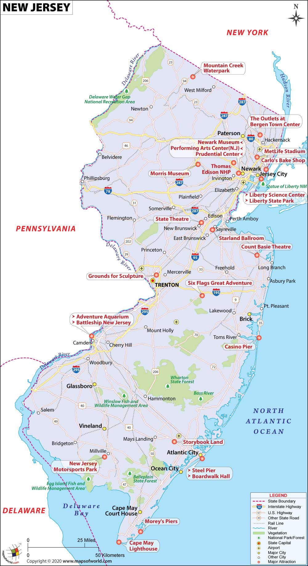
State New Jersey State Capital Trenton Largest City Newark Coordinates 40°N 74.5°W Nickname(s) “The Garden State” Postal Abbreviation NJ Area 8,722.58 sq.Continue Reading…
![]()
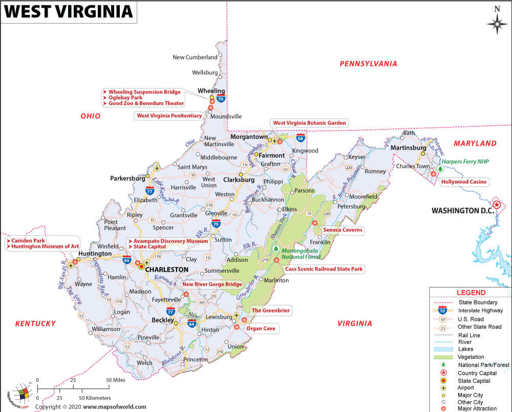
State West Virginia State Capital Charleston Largest City Charleston Coordinates 39°N 80.5°W Nickname(s) “Mountain State” Postal Abbreviation WV Area 24,230 sq. miContinue Reading…
![]()
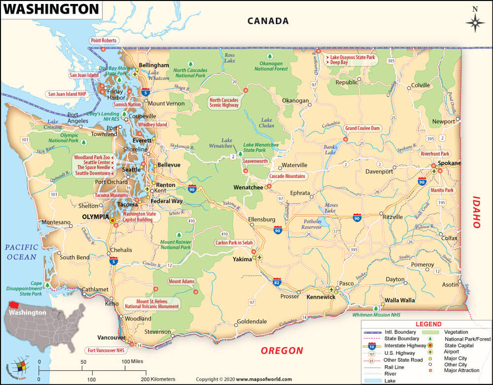
State Washington State Capital Olympia Largest City Seattle Coordinates 47.5°N 120.5°W Nickname(s) “The Evergreen State” (unofficial) Postal Abbreviation WA Area 71,362 sq.Continue Reading…
![]()
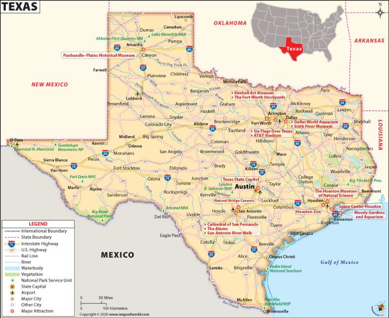
Map of Texas which lies in the South Central region of the USA State Texas State Capital Austin Largest City Houston CoordinatesContinue Reading…
![]()
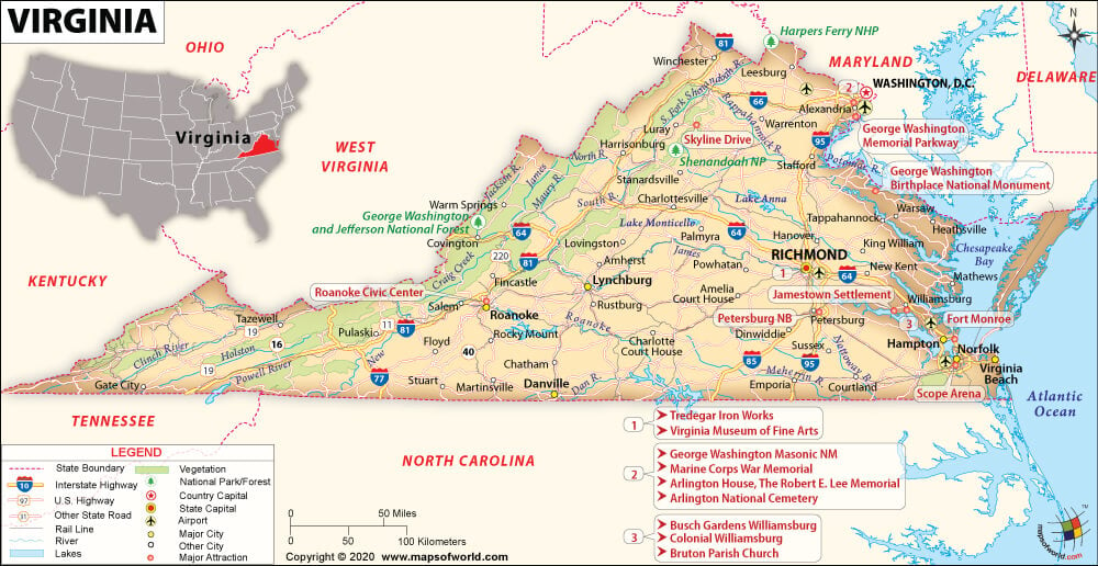
State Virginia State Capital Richmond Largest City Virginia Beach Coordinates 38°N 79°W Nickname(s) “Old Dominion”, “Mother of Presidents” Postal Abbreviation VA AreaContinue Reading…
![]()
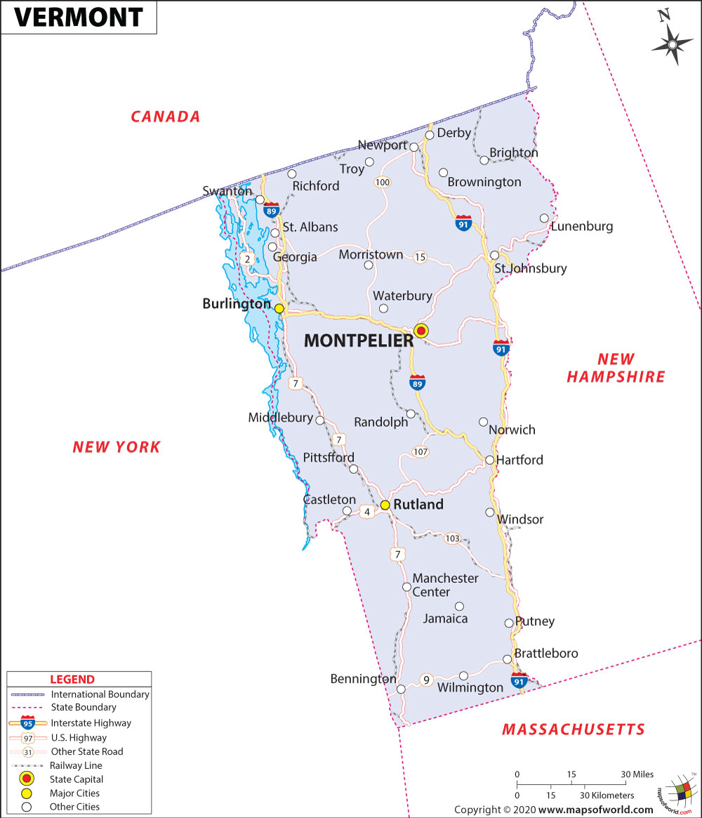
State Vermont State Capital Montpelier Largest City Burlington Coordinates 44°N 72.7°W Nickname(s) “The Green Mountain State” Postal Abbreviation VT Area 9,616 sq.Continue Reading…
![]()