
World Map Picture
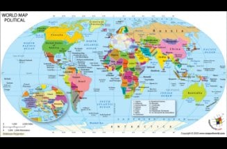
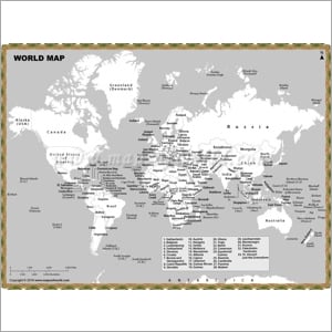
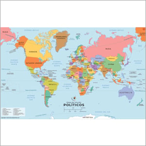
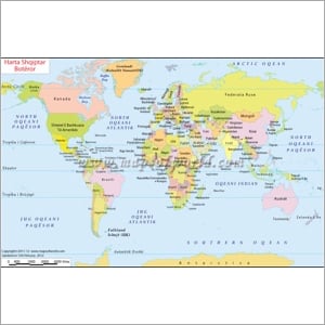
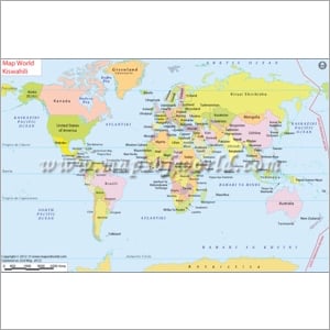
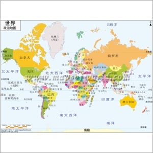
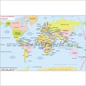
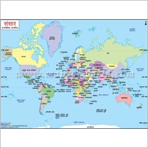
This is a large colored world map showing all the countries in the world with different, distinctive colors. It comes with clear cartography, bold colors, and user-friendly fonts. This high-resolution world map is available in AI, EPS, JPEG, layered PDF formats. You can also customize this map. It showcases countries, boundaries, oceans, seas, Equator, Tropic of Cancer, Antarctic circle, and Arctic Circle.

World Map with Latitude and Longitude
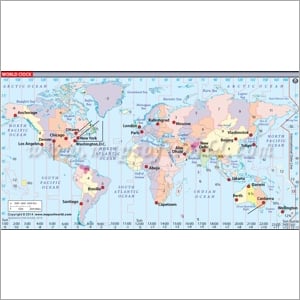
Get the latitude and longitude of the different countries and oceans in the world with this World Map. You can also check out the shape and boundaries of different countries and determine the time zone of specific places. Latitude and Longitude refer to angles, measured in degrees (1 degree = 60 minutes of arc). Know the exact location with latitude and longitude.
Robinson Projection Map
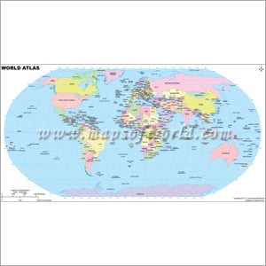
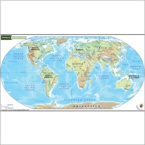
Robinson projection map shows a flat image of the entire world. This large multi-colored world map helps you know about the different countries in the world, their political boundaries, latitude & longitude, and different oceans & seas. You can also know where the Equator, Tropic of Cancer, Antarctic circle, and Arctic Circle are situated and the countries they pass through.






.jpg)