
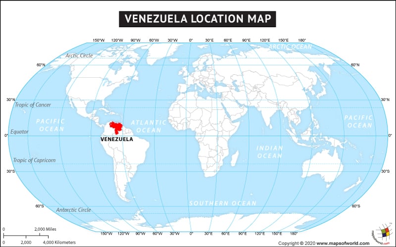
The country of Venezuela is in the South America continent and the latitude and longitude for the country are 9.3928° N, 66.3562° W.
The neighboring countries of Venezuela are:
Maritime Boundaries
- Barbados
- Dominica
- Dominican Republic
- France
- Netherlands
- Saint Kitts and Nevis
- Saint Lucia
- Saint Vincent and the Grenadines
- Trinidad and Tobago
- Aruba
- Curaçao
- Montserrat
- Puerto Rico
- United States Virgin Islands
Facts About Venezuela |
| Country Name | Venezuela |
|---|---|
| Continent | South America |
| Capital and largest city | Caracas |
| Area | 916,445 km2 (353,841 sq mi) |
| Population | 33,221,865 (2014 estimate census) |
| Lat Long | 8 00 N, 66 00 W |
| Official Language | Spanish |
| Calling Code | +58 |
| Time Zone | VET (UTC–4½) |
| Airport | 65 Airports in Venezuela |
| Neighbour Countries | Colombia, Guyana, Brazil |
| Internet TLD | .ve |
| Currency | Venezuelan Bolívar fuerte(VEF) |