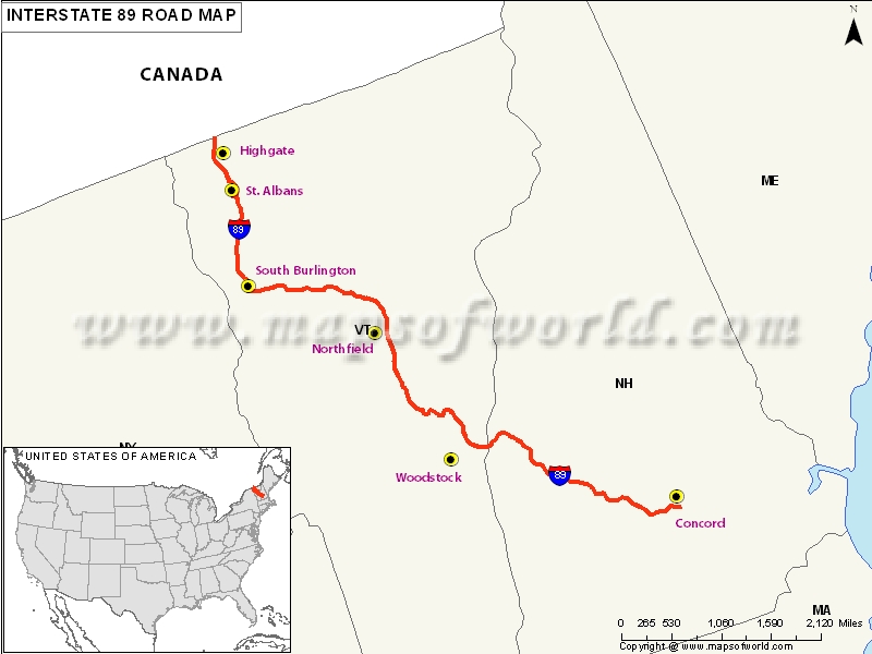
US Interstate 89 Map

Description : Map depicts US Interstate 89 (I-89) route from Bow, New Hampshire to Highgate Springs, Vermont.
Route of Interstate Highway No.89 |
|---|
| State | Entry Point | Exit Point | Length |
|---|---|---|---|
| New Hampshire | Bow, NH | Lebanon, NH | 60.864 mi (97.951 km) |
| Vermont | Hartford, VT | Highgate, VT | 130.254 mi (209.623 km) |
| Total Length | 191.118 mi (307.575 km) |
US Interstates Highways Route Map |
|---|

