
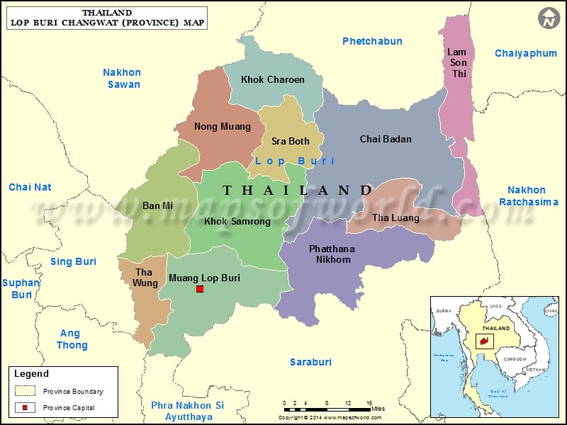
Districts of Lop Buri, Thailand |
| District | Population | Area(km.²) |
|---|---|---|
| Ban Mi | 86064 | 586 |
| Chai Badan | 85301 | 1253 |
| Khok Charoen | 23087 | 317 |
| Khok Samrong | 86381 | 983 |
| Lam Sonthi | 24279 | 447 |
| Lop Buri | 247246 | 566 |
| Nong Muang | 34378 | 446 |
| Phatthana Nikhom | 57892 | 517 |
| Sa Bot | 22847 | 305 |
| Tha Luang | 26398 | 539 |
| Tha Wung | 51633 | 243 |