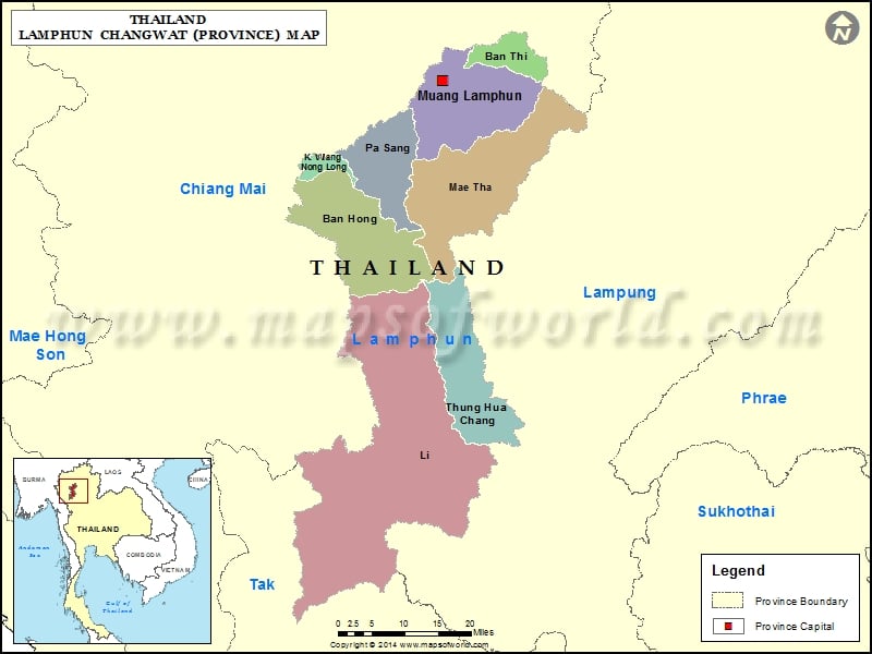
Districts of Lampang, Thailand |
| District | Population | Area(km.²) |
|---|---|---|
| Chae Hom | 43057 | 1349 |
| Hang Chat | 51609 | 685 |
| Ko Kha | 65165 | 551 |
| Lampang | 239475 | 1157 |
| Mae Mo | 37830 | 959 |
| Mae Phrik | 17097 | 539 |
| Mae Tha | 63510 | 811 |
| Mueang Pan | 34037 | 865 |
| Ngao | 59294 | 1815 |
| Soem Ngam | 33271 | 632 |
| Sop Prap | 28221 | 502 |
| Thoen | 62518 | 1635 |
| Wang Nuea | 47068 | 1034 |

