
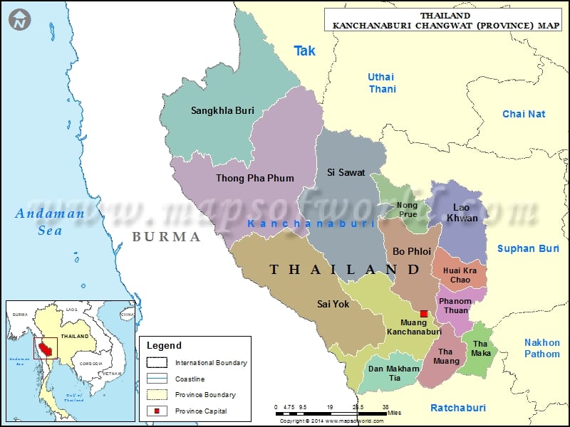
Districts of Kanchanaburi, Thailand |
| District | Population | Area(km.²) |
|---|---|---|
| Bo Phloi | 49998 | 967 |
| Dan Makham Tia | 29304 | 807 |
| Huai Krachao | 29847 | 622 |
| Kanchanaburi | 148266 | 1236 |
| Lao Khwan | 50089 | 831 |
| Nong Prue | 25748 | 502 |
| Phanom Thuan | 49926 | 536 |
| Sai Yok | 39988 | 2729 |
| Sangkhla Buri | 29057 | 3349 |
| Si Sawat | 19969 | 3296 |
| Tha Maka | 125393 | 341 |
| Tha Muang | 96304 | 611 |
| Thong Pha Phum | 40505 | 3655 |