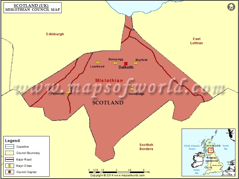
Bordering the council areas of East Lothian, the City of Edinburgh, and the Scottish Borders is Midlothian, another of the 32 council areas of Scotland. Under the Local Government etc. (Scotland) Act 1994, the Midlothian Council area was established in the year 1996. The council was created incorporating the boundaries of the Midlothian district that belongs to the Lothian region.
There is also a registration county and lieutenancy area bearing the name Midlothian. There exists a Midlothian constituency of the House of Commons and there was also once a Midlothian constituency of the Scottish Parliament that existed till the time of the 2011 elections.
The council comprises 18 locally elected councilors that cover the 6 Midlothian wards. The duty of these councilors is to improve the condition of the local services and to take decisions pertaining to it.
After the 2022 council elections:
|
||||
Midlothian has a population of about 95,000 people.
Cities in Midlothian Council |
|||
| Council | City | Latitude | Longitude |
|---|---|---|---|
| Midlothian | Penicuik | 55.82 | -3.23 |
| Midlothian | Gorebridge | 55.83 | -3.05 |
| Midlothian | Bonnyrigg | 55.87 | -3.1 |
| Midlothian | Loanhead | 55.87 | -3.15 |
| Midlothian | Mayfield | 55.871538 | -3.042963 |

