
Cities in Angus Council |
|||
| Council | City | Latitude | Longitude |
|---|---|---|---|
| Angus | Monifieth | 56.48 | -2.82 |
| Angus | Carnoustie | 56.5 | -2.72 |
| Angus | Muirhead | 56.5 | -3.07 |
| Angus | Arbroath | 56.55 | -2.58 |
| Angus | Letham | 56.62 | -2.77 |
| Angus | Kirriemuir | 56.67 | -3 |
| Angus | Montrose | 56.7 | -2.45 |
| Angus | Ferryden | 56.7 | -2.45 |
| Angus | Brechin | 56.73 | -2.65 |
| Angus | Edzell | 56.8 | -2.65 |
Angus Council Map
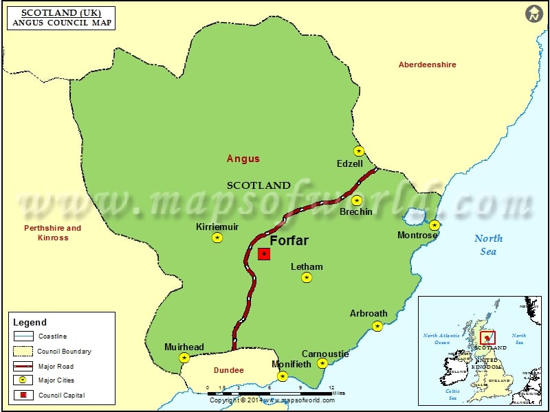
Description : Map showing the major cities and roads of the Angus Council, Scotland (UK).