This form of map projection shows only international boundaries of countries of the world without text.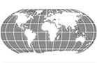
World Map in Miller Projection without Text (Grayscale)

This map shows international boundaries of countries in the world in grayscale.

This map shows international boundaries of countries in the world in grayscale.
This form of map projection shows only international boundaries of countries of the world without text.
This website uses cookies to improve your experience. We'll assume you're ok with this, but you can opt-out if you wish. Read More