World Map in Miller Projection (Grayscale)

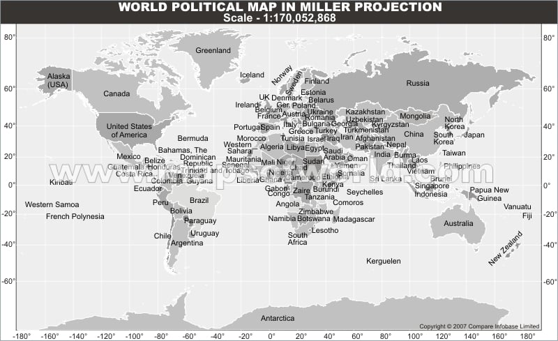
This map shows countries of the world and their territorial borders in Miller projection in grayscale.


This is a form of world map projection showing various countries of world and their international borders in a grayscale background.

Related posts

World Map in Miller Projection without Text

World Map in Miller Projection

World Outline Map in Miller Projection (Light Background)

This website uses cookies to improve your experience. We'll assume you're ok with this, but you can opt-out if you wish. Read More