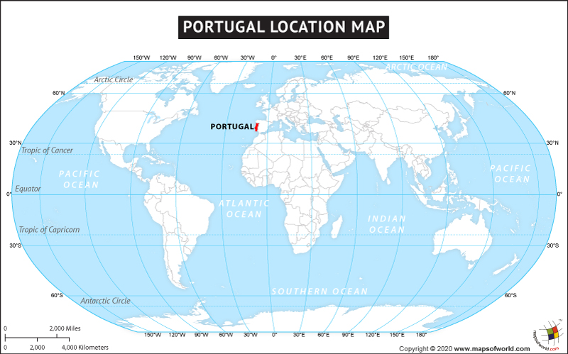
Portugal, which is officially known as the Portuguese Republic, has a unitary semi-presidential republican form of government. Located on the Iberian Peninsula, this southwestern European country shares its land boundary only with Spain in the north and east and its coastal boundary with the Atlantic Ocean in the south and the west. The country’s overseas territories are the archipelagos of Madeira and the Azores in the Atlantic Ocean. Portugal covers a total area of 35,603 square miles (92,212 square kilometers), including the islands of Azores and Madeira, and has a world ranking of hundred and eleventh largest country. It has 1,114 miles (1,793 km) long coastline and its land boundary with Spain is 754 miles (1,214 km) long.
The geographical coordinates of Portugal are 39.30N and 8.00W. The country has mountainous terrain in the north and plains in the south. The climate of the country is predominantly maritime temperate. Lisbon, the capital city, is also the largest city in the country. It is the financial, commercial, cultural, and tourism center of the country. Noted for its scenic beauty and numerous attractions, Portugal attracts tourists from across the globe and is one of the twenty most visited countries in the world.
Facts About Portugal |
| Country Name | Portugal |
|---|---|
| Continent | Europe |
| Capital and largest city | Lisbon |
| Area | 92,212 km2 (35,603 sq mi) Water (%) 0.5 |
| Population | 10.02 million estimates 2022 |
| Lat Long of Portugal | 39° 30′ 0″ N, 8° 0′ 0″ W |
| Official Language | Portuguese |
| Calling Code | +351 |
| Time Zone | WET (UTC+0) Summer (DST) WEST (UTC+1) |
| Airports in Portugal | 25 Airports in Portugal |
| Neighbour Countries | Spain |
| Internet TLD | .pt |
| Currency | Euro (€) (EUR) |

