
| Province | Capital | Population | Area(Km.²) |
|---|---|---|---|
| Bagua | Bagua | 69,482 | 5,746 |
| Bongará | Villa de Jumbilla | 20,459 | 2,870 |
| Chachapoyas | Chachapoyas | 45,058 | 3,312 |
| Condorcanqui | Santa María de Nieva | 30,520 | 17,865 |
| Luya | Lamud | 46,837 | 3,237 |
| Rodríguez de Mendoza | Mendoza | 21,389 | 2,359 |
| Utcubamba | Bagua Grande | 102,920 | 3,860 |
Region Amazonas Peru Mapa
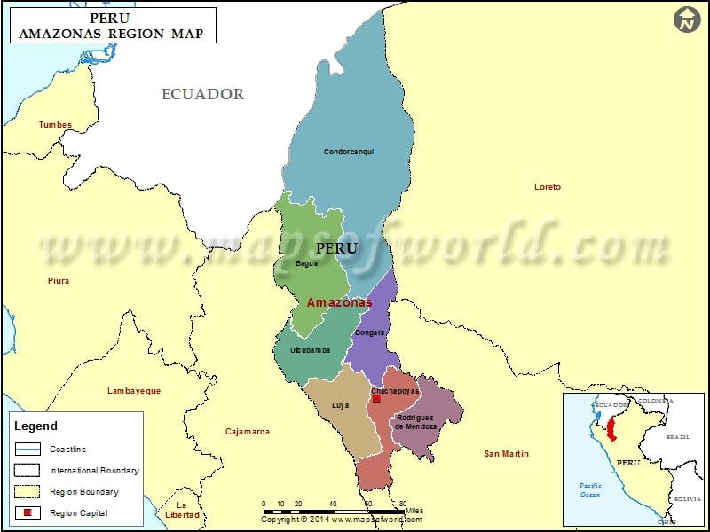
Description : Map showing the administrative divisions of the Amazonas region, Peru.