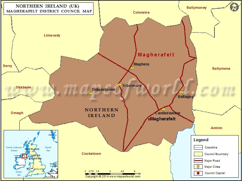
Map of Magherafelt District Council, Northern Ireland (UK) showing the council boundary, major cities, major roads and council capital.
Magherafelt Map Northern Ireland

Description : Map showing the administrative divisions of the Magherafelt District Council, Northern Ireland, UK
