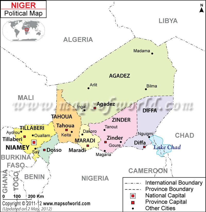
| Region | Pop-2001 | Pop-1988 | Area(km.²) | Area(mi.²) |
|---|---|---|---|---|
| Agadez | 321,639 | 203,959 | 634,209 | 244,869 |
| Diffa | 346,595 | 189,316 | 140,216 | 54,138 |
| Dosso | 1,505,864 | 1,019,997 | 31,002 | 11,970 |
| Maradi | 2,235,748 | 1,388,999 | 38,581 | 14,896 |
| Niamey | 707,951 | 398,265 | 670 | 259 |
| Tahoua | 1,972,729 | 1,306,652 | 106,677 | 41,188 |
| Tillaberi | 1,889,515 | 1,332,398 | 89,623 | 34,604 |
| Zinder | 2,080,250 | 1,410,797 | 145,430 | 56,151 |
| 8 divisions | 11,060,291 | 7,250,383 | 1,186,408 | 458,075 |

