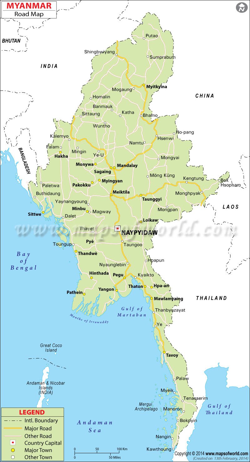
Myanmar is well covered through road network and the total length of roads in the country is around 16,800 mi. Of this around 2,000 mi is paved and rest is unpaved.
Major Highways of Myanmar |
| From | To | Cities covered |
|---|---|---|
| Yangon | Mandalay | Bago, Taungoo, Pyinmana and Meiktila |
| Yangon | Mandalay | Pyay, Magwe, Kyaukpadaung and Myingyan |
| Mandalay | Muse | Lashio |
| Meiktila | Tachileik | Taunggyi and Kengtung |
| Taungoo | Hopong | Loikaw |
| Yangon | Pathein | |
| Mandalay | Moreh | Shwebo and Kale |
| Hpagyargyi | Myeik | Moulmein, Ye and Dawei |
| Mandalay | Myitkyina | Mogok and Bhamo |

