
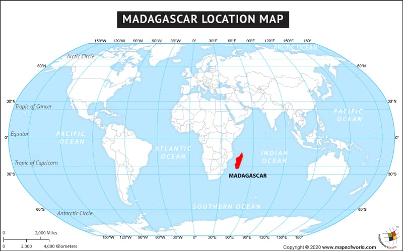
The country of Madagascar is in the Africa continent and the latitude and longitude for the country are 18.3714° S, 47.5424° E.
The neighboring countries of Madagascar are :
Maritime Boundaries
- Comoros
- France
- Mozambique
- Seychelles
- French Southern and Antarctic
- Mayotte
Facts About Madagascar |
| Country | Madagascar |
|---|---|
| Continent | Africa |
| Capital and largest city | Antananarivo |
| Area | 587,041 km2 (226,597 sq mi ) Water (%) 0.009% |
| Population | 22,005,222 (2012 Est.) |
| Lat Long | 20° 0′ 0″ S, 47° 0′ 0″ E |
| Official Language | Malagasy French |
| Calling Code | +261 |
| Time Zone | EAT (UTC+3) Summer (DST) not observed[9] (UTC+3) |
| Airport | 39- Airports (Commercial Scheduled Service) |
| Neighbour Countries | La Reunion, Mauritius and Comoros |
| Internet TLD | .mg |
| Currency | Malagasy ariary (MGA) |