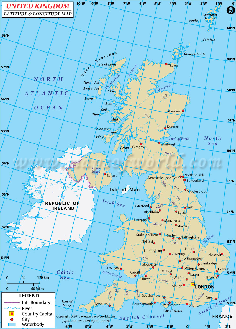
UK Latitude and Longitude Map

The United Kingdom is located on the geographic coordinates of 53.5500° N latitude and 2.4333° W longitude in Europe.
The nation of United Kingdom holds the latitude and longitude denominations of 54°00 N and 2°00 W respectively.
United Kingdom's latitude and longitude denominations positions it in western part of the continent of Europe, between the North Atlantic ocean and the North Sea. The latitude and longitude over which the nation of United Kingdom spreads provides it with a total area of 244,820 sq km. The latitude and longitude co-ordinates of United Kingdom's capital city, London is, 51°30 N and 0°10 W respectively.

