
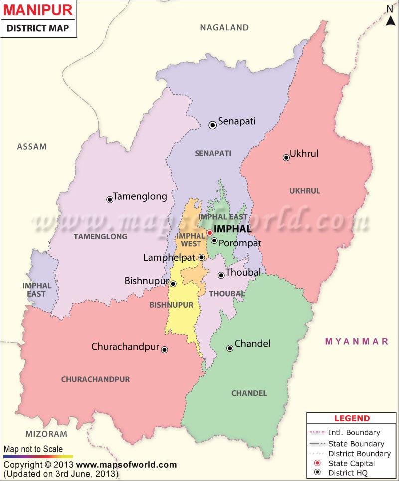
List of Manipur Districts |
| Code | District | Population (2011) | Area (sq km) |
|---|---|---|---|
| BI | Bishnupur | 240,363 | 496 |
| CC | Churachandpur | 271 | 4,574 |
| CD | Chandel | 144,028 | 3,317 |
| EI | Imphal East | 452,661 | 710 |
| SE | Senapati | 354,772 | 3,269 |
| TA | Tamenglong | 140,143 | 4,391 |
| TH | Thoubal | 420,517 | 514 |
| UK | Ukhrul | 183,115 | 4,547 |
| WI | Imphal West | 514,683 | 519 |