
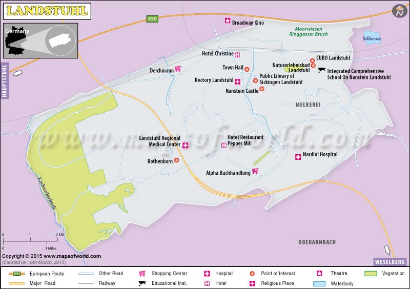
German (German: Deutschlandkarte) city Landstuhl is popular in America for the Landstuhl Regional Medical Center. For the American casualties, Landstuhl is often the first stop before leaving for the continuing conflict in Afghanistan and Iraq. The Ramstein Air Force Base is also located near Landstuhl.
Human settlement in Landstuhl can be traced back to 500BC in the Celtic period. Landstuhl was a holy place of the Romans for the “Heidenfels” or the heathen rock. The Burg Nanstein castle, built by the von Sickingen knight dynasty, is a notable landmark of Landstuhl.
Verbandsgemeinde Landstuhl or collective municipality is the kind of administration practiced in Landstuhl. The local municipalities or Ortsgemeinden comprises
- Kindsbach
- Landstuhl
- Oberarnbach
- Mittelbrunn
- Bann
- Hauptstuhl
The locality of Landstuhl, Germany is the best place for day touring and excursions. The pleasing ambiance offers many alternatives for mountain biking, motorcycle trip, bicycle tours, hiking, or simply a tranquil walk through the woods.
| Facts | Data |
|---|---|
| State | Rheinland-Pfalz |
| Population | 9084 people |
| Total Area | 15.34 km2 (5.92 sq mi) |
| Lat Long Coordinates | 49.4122° N, 7.5722° E |
| Time Zone | CET/CEST (UTC+1/+2) |
| Zip Code | 66849 |
| Dialing Code | 06371 |
| Language | German |
| Official Website | www.landstuhl.de |