South Karelia Map (Etelä-Karjala) shows the boundaries of the region and its administrative division along with the region.
South Karelia Map
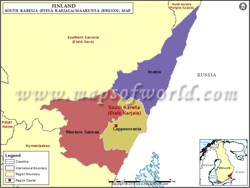
Description : South Karelia Map (Etelä-Karjala) showing the administrative divisions of the region.

Description : South Karelia Map (Etelä-Karjala) showing the administrative divisions of the region.
South Karelia Map (Etelä-Karjala) shows the boundaries of the region and its administrative division along with the region.
This website uses cookies to improve your experience. We'll assume you're ok with this, but you can opt-out if you wish. Read More