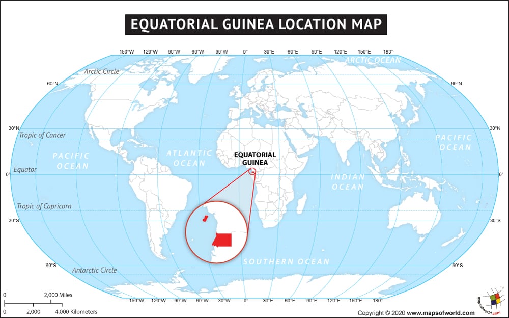
The country of Equatorial Guinea is on the African continent and the latitude and longitude of the country are 1.9248° N, 10.1116° E.

Description : Map showing the location of Equatorial Guinea on the World map.
The country of Equatorial Guinea is on the African continent and the latitude and longitude of the country are 1.9248° N, 10.1116° E.
This website uses cookies to improve your experience. We'll assume you're ok with this, but you can opt-out if you wish. Read More