
Map of Peterborough which is the unitary authority area in the East of England. The map shows the administrative divisions of Peterborough, the county boundary, and the county capital.
Peterborough County Map
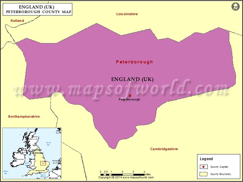
Description : Map showing the unitary authority area of the Peterborough, England, United Kingdom.