
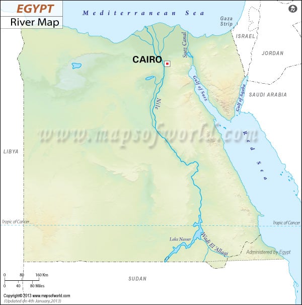
Egypt Rivers Map shows all the rivers of Egypt. The main river in Egypt is the Nile. Its length is 6650 kilometers. The drainage area is 3349000 kilometers square.
| River | Length (km) | Length (miles) | Drainage area (km²) | Outflow | Countries in the drainage basin | Egypt Governorate in the drainage basin |
|---|---|---|---|---|---|---|
| Nile River | 6650 | 4132 | 3349000 | Mediterranean Sea | Egypt, Tanzania, Burundi, Rwanda, DR Congo, Kenya, Uganda, South Sudan, Ethiopia, Sudan | Luxor, Cairo, Aswan |