
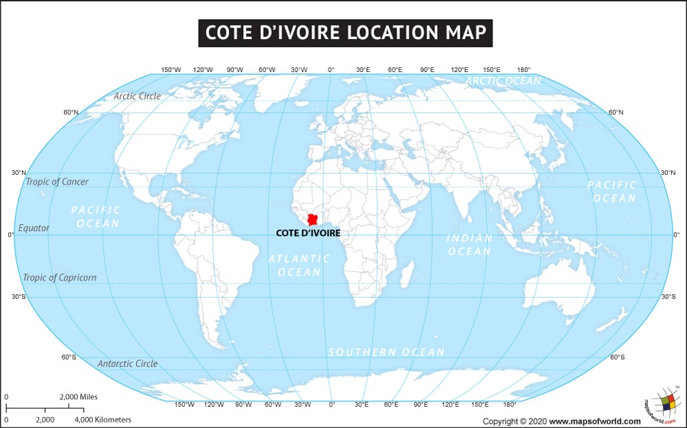
The Republic of Côte d’Ivoire also called Ivory Coast is located in the western part of Africa bordering its neighboring countries of Ghana in the east, Guinea and Liberia in the west and Burkina Faso and Mali in the north. This almost landlocked country is bordered by Gulf of Guinea in the south. Cote d’Ivoire possess a total area of 322,463 sq. km with 515 km long coastline. This is the sixty ninth largest country of the world. This sub-Saharan African country extends between 4° and 11° N latitudes and 2° and 9° W longitudes. Abidjan is its former political capital and the present largest city of the country and Yamoussoukro is its current political capital city.
Cote d’Ivoire mostly has flat to undulating plain terrains with upland regions mainly in the north. Cote d’Ivoire though is one of the smallest countries in Africa, it has the largest western African economy and is also one of the culturally rich countries in Africa. It experiences tropical to semi-arid climates.
Facts About Cote d’Ivoire (Ivory Coast) |
|---|
| Country Name | Cote d’Ivoire (Ivory Coast) |
|---|---|
| Continent | Africa |
| Capital | Yamoussoukro |
| Largest city | Abidjan |
| Area | 322,463 km2 (124,502 sq mi) |
| Population | 23,919,000 (2014 Est.) |
| Lat Long | 6.8500° N, 5.3000° W |
| Official Language | French |
| Calling Code | +225 |
| Time Zone | GMT (UTC+0) Summer (DST) not observed (UTC+0) |
| Airport | Total -27, 1- Scheduled |
| Neighbour Countries | Ghana, Burkina Faso, Mali, Guinea, Liberia |
| Internet TLD | .ci |
| Currency | West African CFA franc (XOF) |