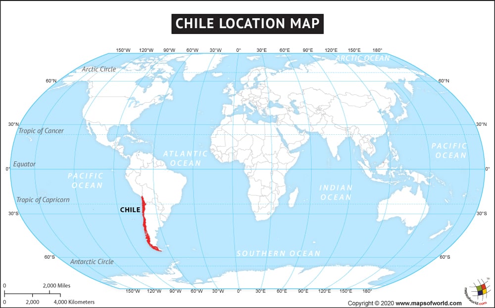
Chile, the country with a narrow strip of land between North Pacific Ocean in the west and the Andes Mountain in the east is officially called the Republic of Chile. It is located in the southern part of South America covering a total area of 756, 102 sq. km. It is the thirty eighth largest country in the world, it also has 6435 km. long coastline. Chile is the longest north south trending countries of the world. Chile is also located in the Pacific Ring of Fire. Chile shares its land boundary with Argentina in the east, Bolivia in the north east and Peru in the north. Chile besides its mainland territory also has islands on the Pacific Ocean within its jurisdiction. Santiago is its largest and the capital city. The geographic coordinates of Chile are 30 00 S and 71 00 W.
Chile experiences varied climate ranging from Mediterranean, temperate and desert and it has mesmerizing landscape across its territory.
Facts About Chile |
|---|
| Country Name | Chile |
|---|---|
| Continent | Americas, South America. |
| Capital and largest city | Santiago |
| Area | 756,096.3 km2 (291,930.4 sq mi ) Water (%) 1.07 |
| Population | 18,006,407 (2015 Est.) |
| Lat Long | 33.4333° S, 70.6667° W |
| Official Language | Spanish |
| Calling Code | +56 |
| Time Zone | CLT and EASTc (UTC−3 and −5) |
| Airport | 45 Airports |
| Neighbour countries | Argentina, Bolivia, Peru |
| Internet TLD | .cl |
| Currency | Chilean peso |

