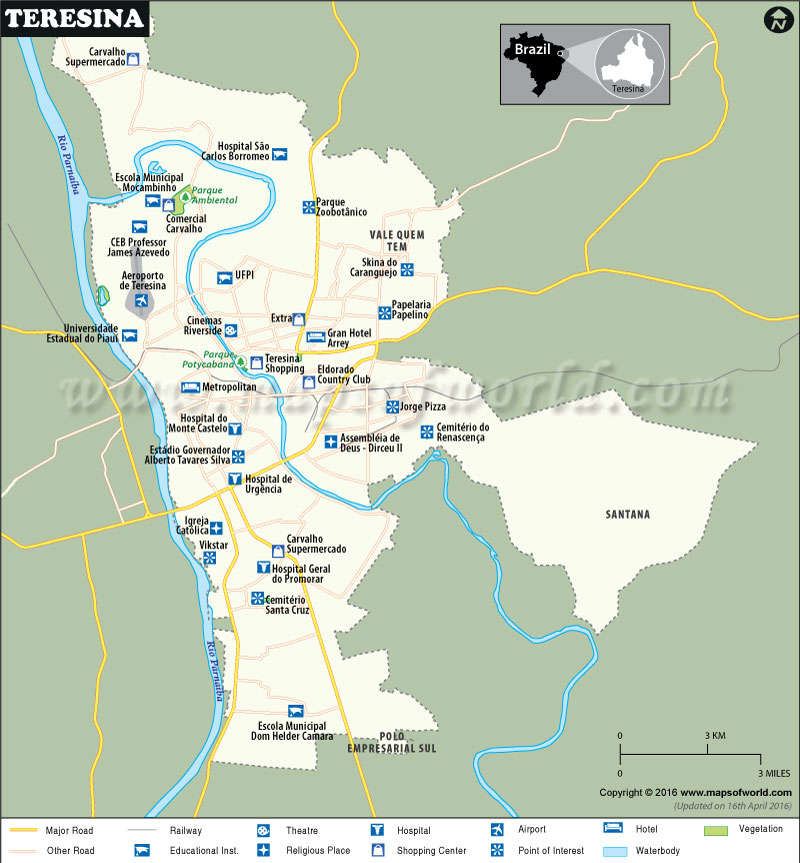
Teresina, Brazil
Founded in 1852 as Nova Vila do Poti, Teresina is the capital and the most populous city in the Piauí state. Sprawled along both the banks of the Poti River, it’s the only northeast capital in Brazil not located at the Atlantic coast. It is the hottest city and first planned city in Brazil.
How to Reach Teresina
By Air – Served by direct flights to Brasília, Fortaleza, São Luís, Teresina-Senador Petrônio Portella Airport (THE) lies north of the capital between the rivers Parnaíba and Poty.
By Train – One subway line of Teresina Metro serves the metropolitan area.
By Road – MA-040, PI-112, 316, and 226 are major highways which traverse the city.
Things to Do in Teresina
Known for its unpretentious vibe, the city is worth exploring for a day or two. The 19th-century Palácio de Karnak and the Church of Sao Benedito near Praça São Benedito are prominent places to visit in Teresina. The Museu do Piauí features 2,000 artworks including coin collections, fossils, and colonial paintings. Theatro 4 de Setembro is a popular venue to catch regional cultural events.
Lined with sculptures, the grounds of Central de Artesanato sell indigenous craft from all over the state. Browse around for leather articles, colorful hammocks, opals, and souvenirs. Plan a day trip to the Parque Nacional de Sete Cidades which is famous for its unique rock formations.

