Bangladesh Facts
Capital: Dhaka
Language: Bengali
Area: 147,570 square kilometer
National Anthem: Amar Shonar Bangla (My Modern Bangla)
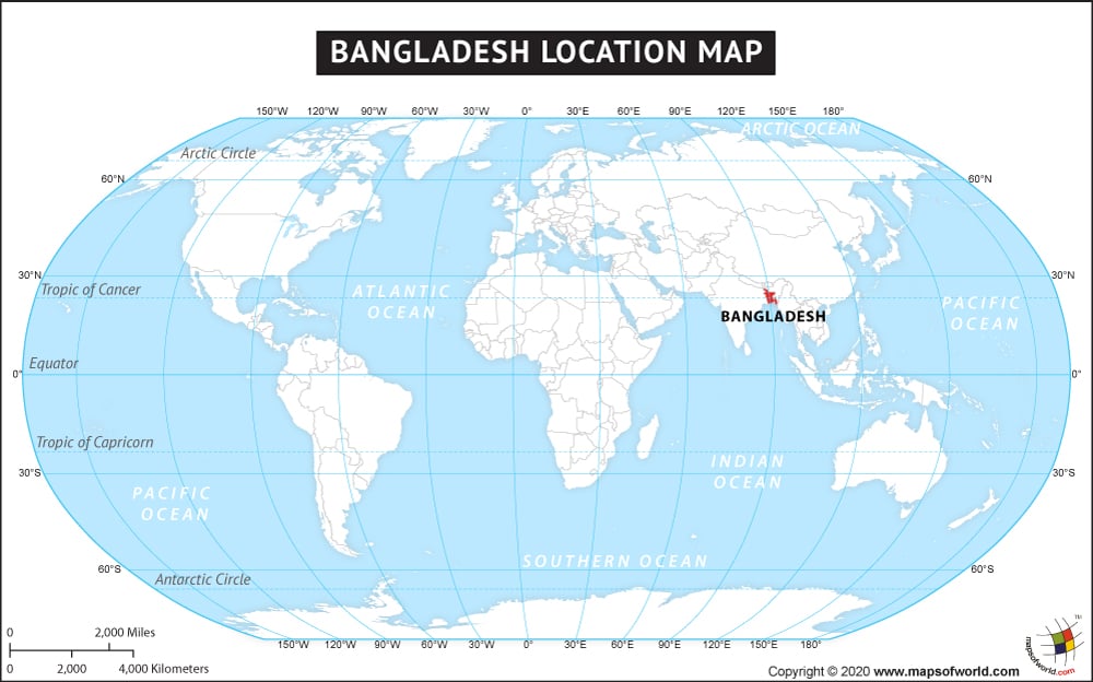
Bangladesh is located in South Asia, bordered by India in the north, the Bay of Bengal in the east and west, while Myanmar surrounds it to the south. Bangladesh is the eighth most populous country in the world. Officially known as the People’s Republic of Bangladesh, it is the fourth largest Muslim country in the world after Indonesia, Pakistan and India.
The country is divided into eight administrative divisions, which are further subdivided into districts or zila. The districts are further divided into subdistricts or upazila.
The country of Bangladesh is in the Asia continent and the latitude and longitude for the country are 23.8511° N, 89.9250° E.
The neighboring countries of Bangladesh are:
- Burma
- India
Facts About Bangladesh |
|---|
| Country Name | Bangladesh |
|---|---|
| Continent | Asia |
| Capital and largest city | Dhaka |
| Area | 147,570 km2 ( 56,977 sq mi) Water (%) 6.4 |
| Population | 156,594,962 (March 2013 estimate) |
| Lat Long | 24.127223, 89.795036 |
| Official Language | Bengali |
| Calling Code | +880 |
| Time Zone | BST (UTC+6) |
| Airport | 11 Airports in sch. Service |
| Neighbour countries | India, Nepal, Bhutan, Myanmar (Burma) |
| Internet TLD | .bd |
| Currency | Bangladeshi taka |

