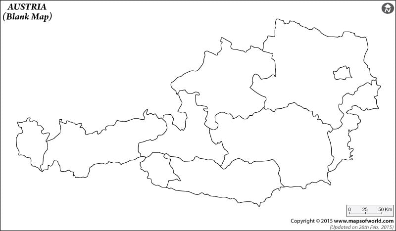
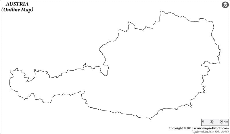
Austria Map Austria Map Outline Vishal KumarApril 6, 202303K views Description : Find the outline map of Austria displaying the major boundaries. Austria Cities - Alpbach, Arlberg, Bregenzerwald, Carinthia, Kaprun, Kitzbuhel, Klagenfurt, Lake Weissensee, Lech, Linz, Mayrhofen, Sankt Polten (St. Polten), Seefeld, Solden, St Wolfgang, Villach, Vorarlberg Austria States - Burgenland, Karnten, Niederosterriech, Oberosterreich, Salzburg, Steiermark, Tirol, Vorarlberg Neighboring Countries - Switzerland, Hungary, Slovakia, Italy, Slovenia Continent And Regions - Europe Map Other Austria Maps - Austria Map, Where is Austria, Austria Road Map, Austria Rail Map, Austria River Map, Austria Political Map, Austria Physical Map, Austria Flag Click to view the pdf and print the Austria Outline Map for kids to color. Click to view the pdf and print the Austria Blank Map for kids to color. Click to view the pdf and print the Austria Blank Map With Political Boundaries for kids to color. Click to view the pdf and print the Austria Blank Map Without Political Boundaries for kids to color.