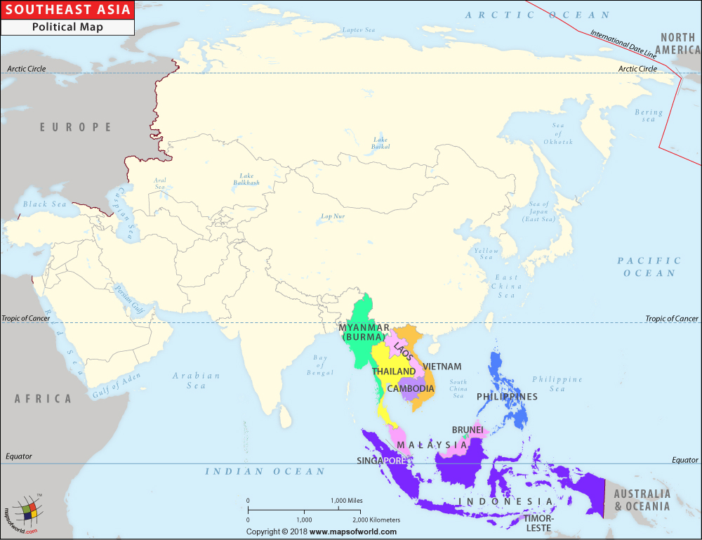
Southeast Asia Map
Description : The Southeast Asia Political Map depicts the countries that are situated in the region.
| Southeast Asian Countries : Area, Population and Capitals |
| State |
Area (km2) |
Population (2016) |
Capital |
| Indonesia |
1,904,569 |
258,802,000 |
Jakarta |
| Philippines |
342,353 |
102,904,637 |
Manila |
| Vietnam |
331,210 |
92,637,200 |
Hanoi |
| Thailand |
513,120 |
68,981,000 |
Bangkok |
| Myanmar |
676,000 |
52,254,000 |
Nay Pyi Daw |
| Malaysia |
329,847 |
30,751,602 |
Kuala Lumpur |
| Cambodia |
181,035 |
15,776,000 |
Phnom Penh |
| Laos |
236,800 |
7,163,000 |
Vientiane |
| Singapore |
724 |
5,591,000 |
Singapore (city-state) |
| East Timor |
14,874 |
1,188,000 |
Dili |
| Brunei |
5,765 |
423,000 |
Bandar Seri Begawan |
* Data from various Sources


