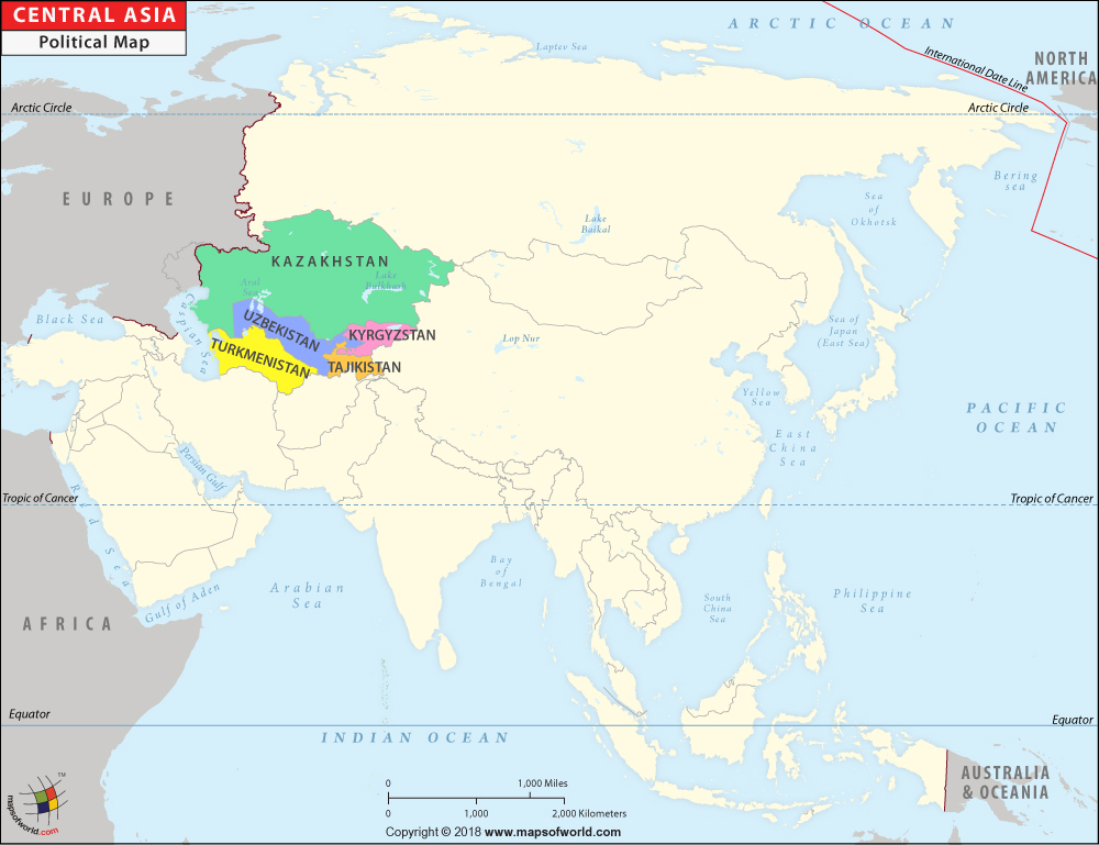
Central Asia Map

Description : Central Asia Political Map depicts the countries that are situated in central Asian region.
Central Asia covers a total area of 1,545,721 square miles. The estimated population of the region is 61,551,945.
Central Asian Countries
- Kazakhstan
- Kyrgyzstan
- Tajikistan
- Turkmenistan
- Uzbekistan
Around 60 percent of Central Asia comprises desert land. The main deserts in Central Asia are Karakum, which covers most of Turkmenistan, and Kyzylkum, in Uzbekistan. The region witnesses very dry climatic conditions. Summers are hot while winters are cool.
Uzbekistan is the most-populous country in Central Asia; it has an estimated population of 27.6 million.
Regions of Asia |
|---|
| East Asia Map | West Asia Map | South Asia Map | Central Asia Map |
| Southeast Asia Map |

