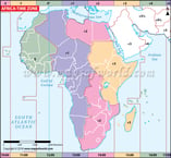
Maps of Africa
Maps of Africa are essential tools for understanding the geography, political divisions, and cultural diversity of the world's second largest continent. From physical maps that highlight mountain ranges, rivers, and deserts, to political maps that show country borders and major cities, maps provide a wealth of information about Africa. They also play an important role in charting the continent's historical and contemporary developments, from the colonial era to present-day economic and political realities. Whether used for navigation, research, or education, maps of Africa are an essential resource for anyone seeking to learn more about this vast and fascinating continent.


