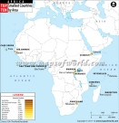
African Countries and Capitals
About Africa Continent
Africa is a land of geographical diversity and a rich cultural heritage, and is still relatively ‘unexplored’ by the Western World. Please look at our Map of Africa, and ask yourself, ‘how much do you know about this mysterious and beautiful continent.’
Africa is the confluence of history and nature, with majestic rivers, mighty mountains, intense rulers, and a diverse civilization.
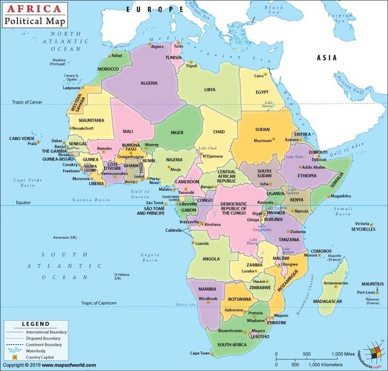
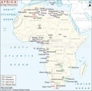
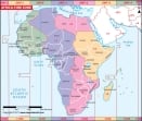
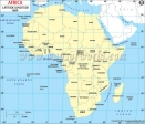
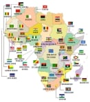
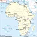
Looking at our Political Map of Africa, you will notice the Northern countries of Algeria, Chad, Egypt, Libya, Mali, Western Sahara, Morocco, Mauritania, Sudan, and Tunisia. A large portion of these countries is spanned by the hottest desert in the world, the Sahara Desert.
To the northeast is the country of Egypt, the third most populous country in Africa, and known worldwide as the ‘land of the pyramids.’ Civilizations have thrived in Egypt since ancient times due to the sustenance provided by the Nile River, one of the longest rivers in the world. Home to one of the Seven Wonders of The World, the Great Pyramid of Giza, Egypt is frequented by tourists that wish to experience a history, and see the fascinating lives of the Pharaohs for themselves.
Morocco, on the north-western coast of Africa, is another popular tourist destination for those who wish to indulge in the rich art and crafts of the region. From rugs to lamps, the fine craftsmanship of Moroccan artisans is displayed in the Souks, or street markets of Morocco. Morocco has recently gained recognition around the world for being the largest producer of Argan Oil -- oil extracted from the nut of the Argan Tree, that is endemic to this nation.
When the health benefits of Argan Oil, it has become an essential ingredient for cooking as well as cosmetics. Argan Oil industry now generates significant business, with international brands and visitors flocking to the factories. You can see from the map, Morocco is separated from Europe by the Strait of Gibraltar, making it very convenient to combine a trip to Morocco with a European itinerary.
Moving closer to the equator, your see the Democratic Republic of Congo, one of the central nations of the continent. The equator passes through this country, and due to this proximity to the equator, the Congo receives high precipitation throughout the year. The Congo sustains the second largest rainforest in the world after the Amazon, and is home to several unique tropical species of flora and fauna that are unique to this region.
The Congo River, flows through the nation, and is one of the most significant rivers of Africa, and the capital city of Kinshasa, sits on its banks. The Congo has been at the center of two wars with it neighbor, Rwanda, and both the nations have witnessed significant political unrest.
Just off the mainland, and shown on our map, is the island nation of Madagascar. Surrounded by the Indian Ocean on all sides, Madagascar is a beautiful amalgamation of grassy highlands and beautiful beaches. Madagascar has been physically separated from the African landmass for approximately 165 million years, and thus evolved on its own. This has created a biologically diverse region. Madagascar is particularly popular worldwide for the wildlife tourism and eco-tourism activities. Visitors have the opportunity to visit the UNESCO World- Heritage-listed Sites such as Rova in Antananarivo.
Moving to the southern tip of the map, we reach the country of South Africa. With its mild temperate climate and spectacular beaches, South Africa is the most popular visitor destination on the continent. Urbanization and natural beauty blend together in this rainbow nation, that is still recovering from the tumultuous times of the Apartheid era. Johannesburg and Cape Town, are the two most populous cities of this country, and the centers of urban activity.
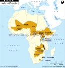
An interesting note, South Africa entirely surrounds the landlocked nation of Lesotho, making it one of the three landlocked countries in the world that share their border with only one nation. This and many other interesting facts about Africa are illustrated on our political map of the continent.
We take map making, or cartography, seriously, and make every effort to ensure accuracy, and correctly boundaries, major water bodies, cities, and national capitals. Our maps are designed for education; schools, colleges, and the home, and are great visual aids for learning. Our maps are updated on a regular basis. You can select from a wide range of designs, sizes, and formats, as per your needs at our online store.


