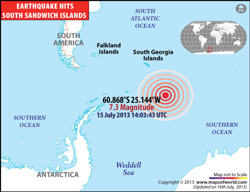
Earthquake of Magnitude 7.3 in the South Sandwich Islands |
 |
Map showing the location of earthquake in South Sandwich Islands on July 15, 2013. |
Earthquakes in South Sandwich Islands
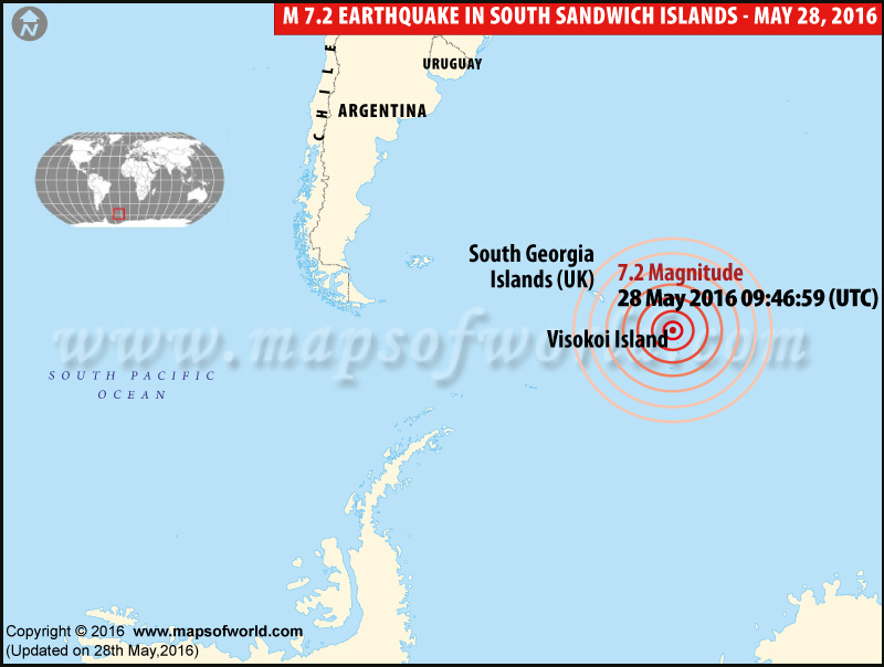
7.2-M Earthquake hits South Sandwich Islands

| Description :7.2-magnitude Earthquake hits South Sandwich Islands |
| Disclaimer |
*We specifically create maps that have a magnitude of 6 or more on the Richter Scale.
7.2-magnitude Earthquake hits South Sandwich Islands:
May 28, 2016 9:46:59 (UTC): A 7.2-magnitude earthquake struck the South Sandwich Islands on May 28, 2016. According to the USGS, the epicenter of the earthquake was located 36 miles north northeast of Visokoi Island, South Georgia and the South Sandwich Islands. There is no tsunami threat from the earthquake.
Earthquake of Magnitude 7.3 in the South Sandwich Islands
| Magnitude | 7.3 |
|---|---|
| Date-Time | 15 July 2013 14:03:43 UTC 15 July 2013 12:03:43 Near Epic Center |
| Location | 60.796S 25.226W |
| Depth | 33 km |
| Region | South Sandwich Islands |
| Distances | 209 km (129 mi) SSE of Bristol Island, South Sandwich Islands 2595 km (1608 mi) ESE of Ushuaia, Argentina 2840 km (1760 mi) SE of Punta Arenas, Chile 2849 km (1766 mi) SE of Rio Gallegos, Argentina 2230 km (1382 mi) SE of Stanley, Falkland Islands |
| Location Uncertainty | Horizontal +/- 16.6 km; depth +/- 5.3 km |
| Parameters | Nph = 108; Dmin = 988.9 km; Rmss = 1.10 seconds: Gp=43° Version=7 |
| Source | Magnitude: USGS NEIC (WDCS-D) Location: USGS NEIC (WDCS-D) |

